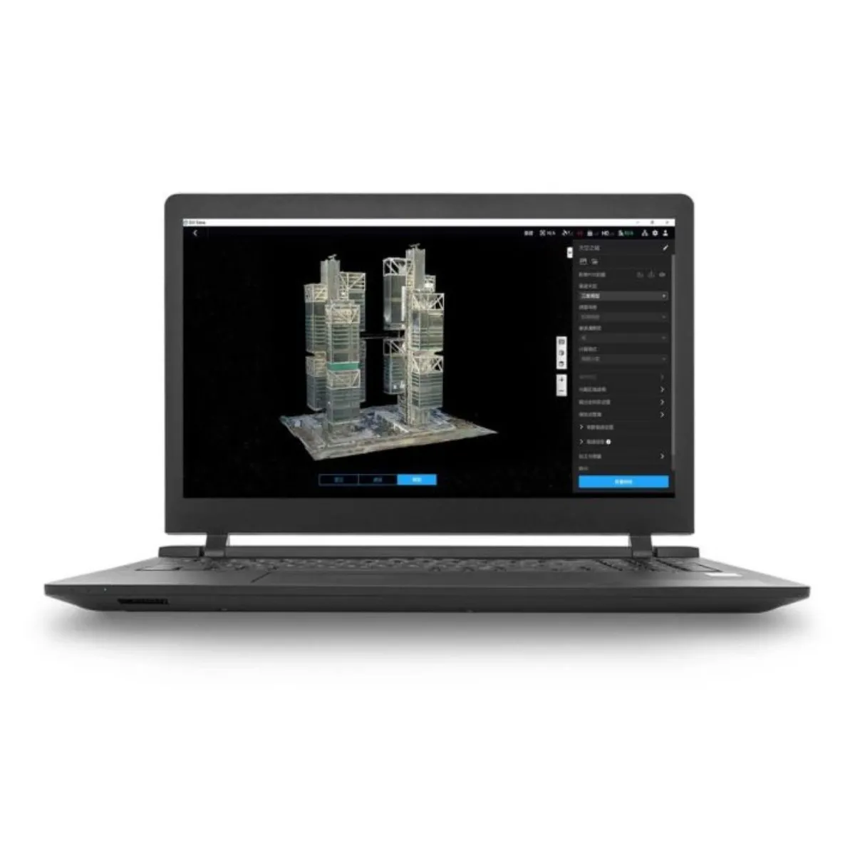
DJI Terra is advanced software for 2D and 3D modeling and mapping, supporting Gaussian Splatting, photogrammetry, LiDAR reconstruction, and multispectral analysis. It enables the creation of highly accurate maps, 3D models, and point clouds, as well as model and point cloud editing. The Flagship license includes all features, free upgrades, and is valid for one device (online version).


