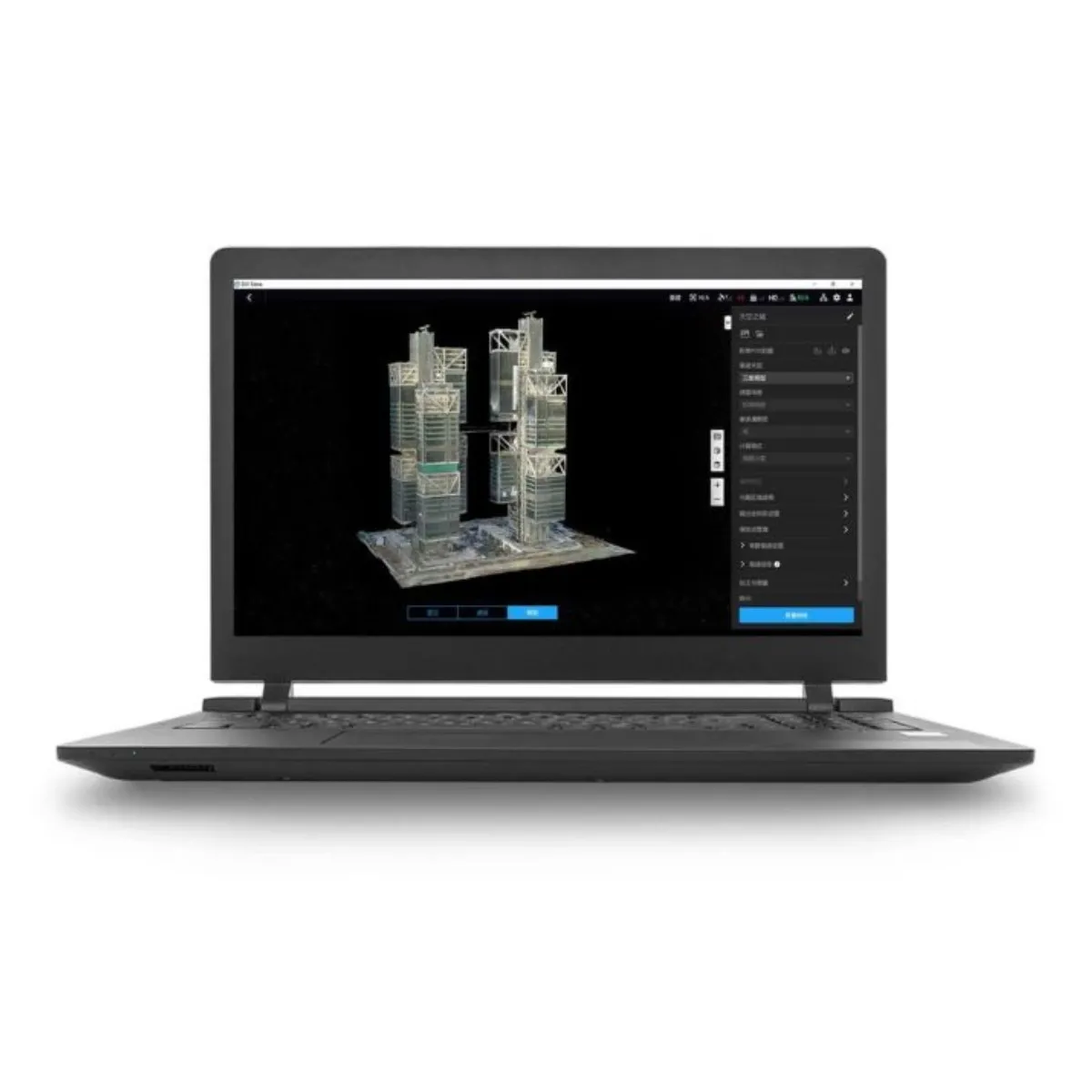
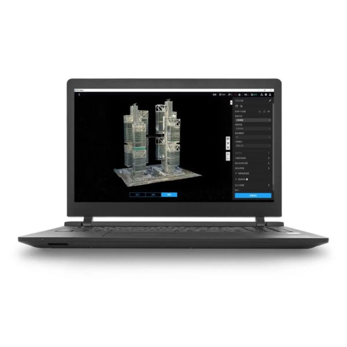
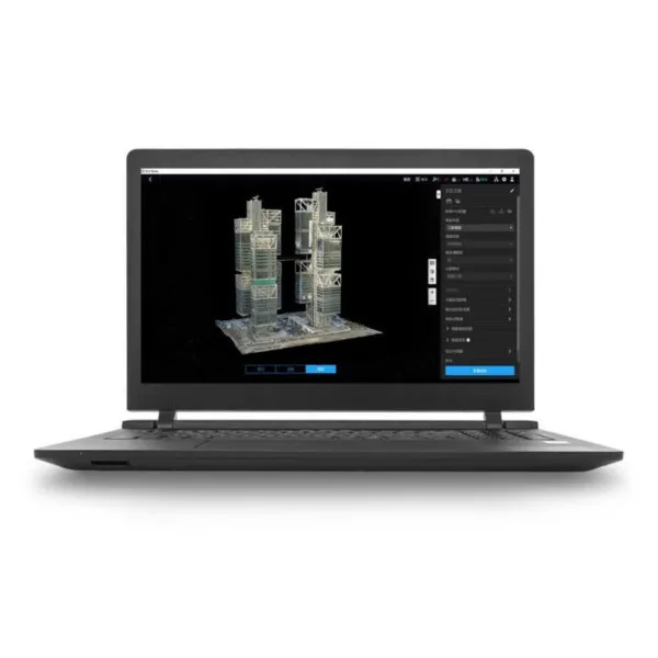
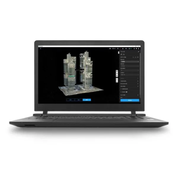
DJI Terra is advanced 3D modeling and mapping software that leverages next-generation technologies such as 3D Gaussian Splatting. It enables precise 2D and 3D reconstruction from photos and processing of DJI LiDAR data, as well as multispectral analysis (NDVI, NDRE) for agriculture and research. Combined with DJI Modify and DJI Enterprise drones, it provides a complete solution for data acquisition, processing, and sharing, while supporting both online and offline authorization.

