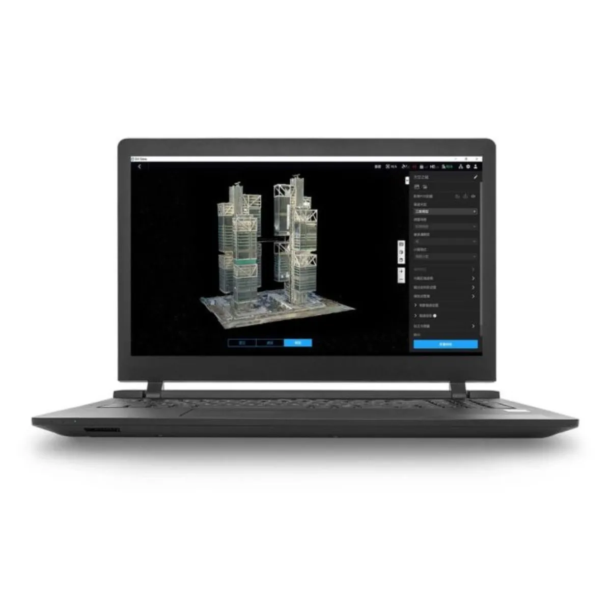
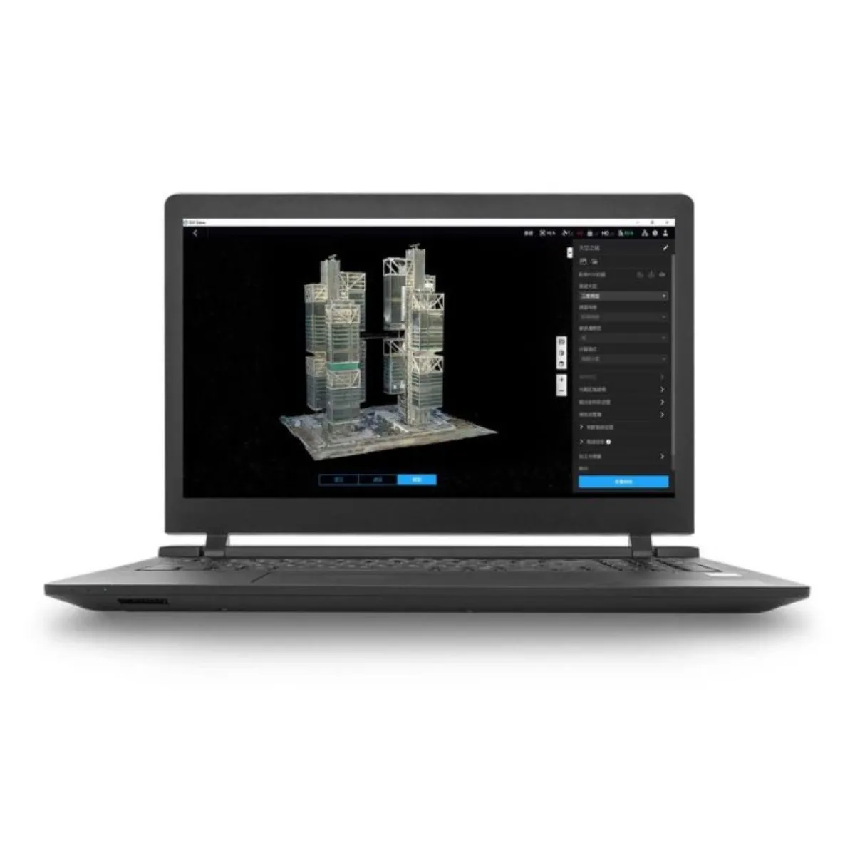
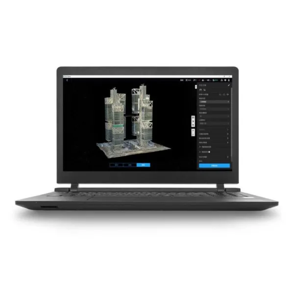
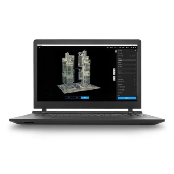
DJI Terra Standard – Permanent (Offline) is 3D modeling and mapping software with advanced technologies such as 3D Gaussian Splatting, enabling precise 2D and 3D reconstruction from imagery and processing of DJI LiDAR data. It supports photogrammetry, multispectral analysis (NDVI, NDRE), and the creation of highly accurate point clouds and mesh models. Combined with DJI drones and DJI Modify software, it offers a complete solution for data acquisition, processing, and sharing, while the permanent offline license ensures lifetime use without renewal.

