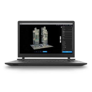
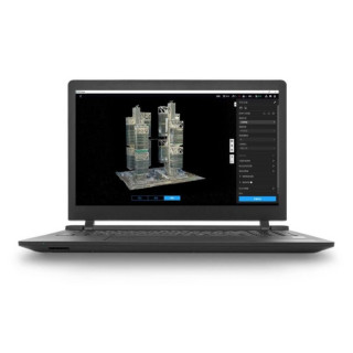
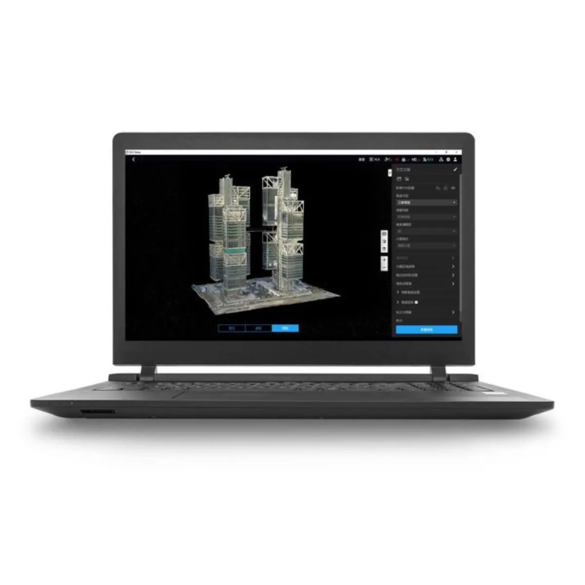
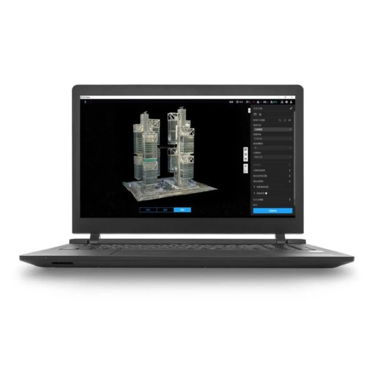
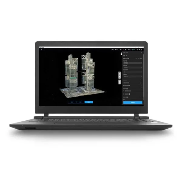
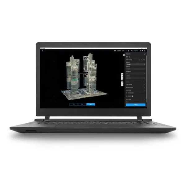
DJI Terra is powerful 3D modeling and mapping software that transforms real-world environments into highly accurate digital models. With technologies such as 3D Gaussian Splatting (available in the Flagship version), LiDAR data processing, and full integration with DJI Enterprise drones, Terra enables the entire workflow – from data capture to final deliverables. It is compatible with Matrice 4E, Matrice 400, Zenmuse P1, Zenmuse L2, and D-RTK 3, and is used in surveying and mapping, urban planning, agriculture, public safety, infrastructure inspection, energy, as well as film and virtual environment industries.

