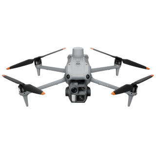
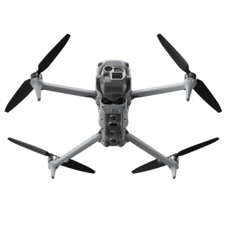
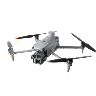
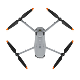
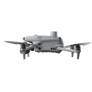
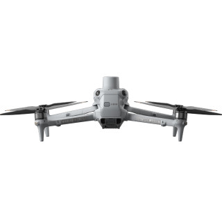
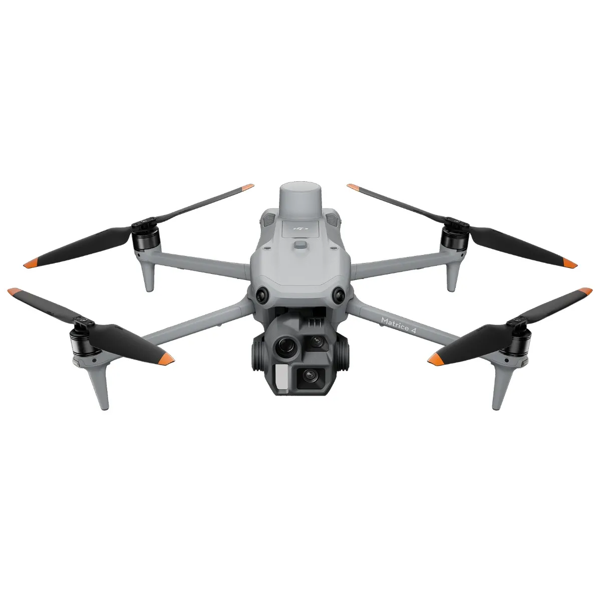
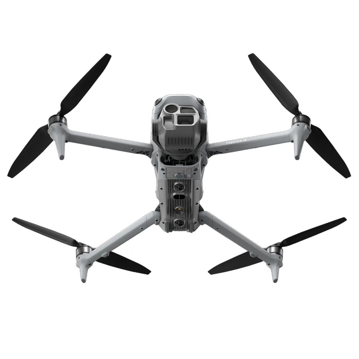
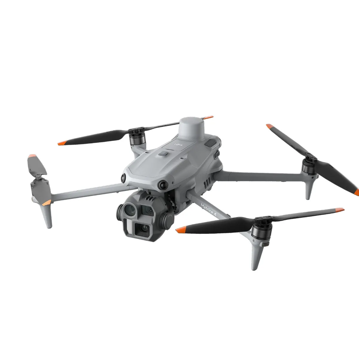
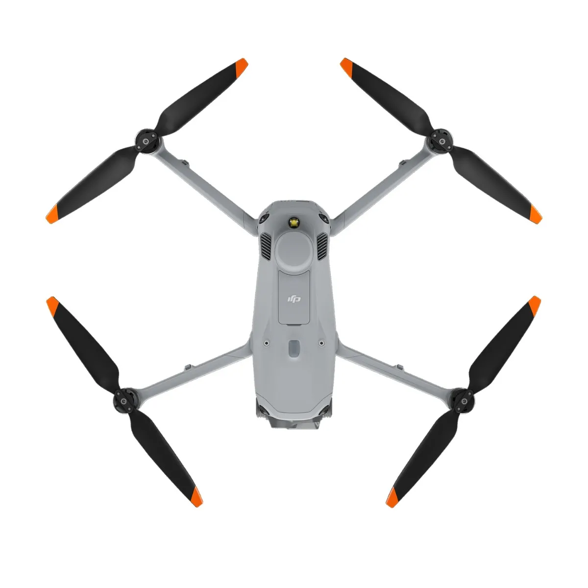
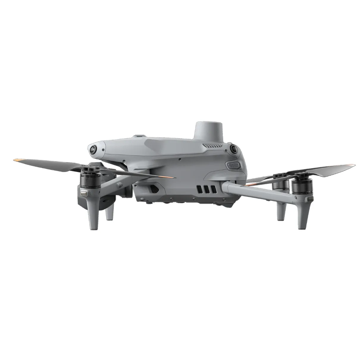
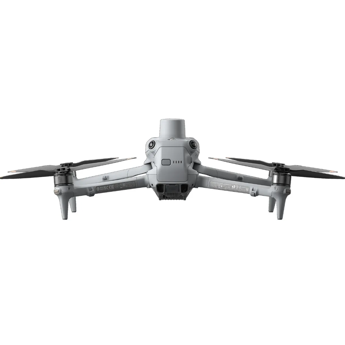
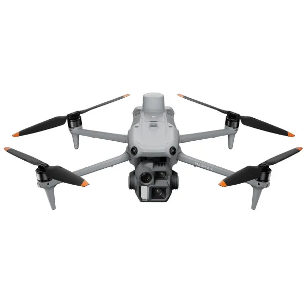
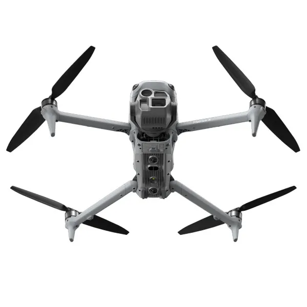
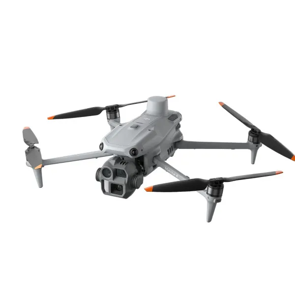
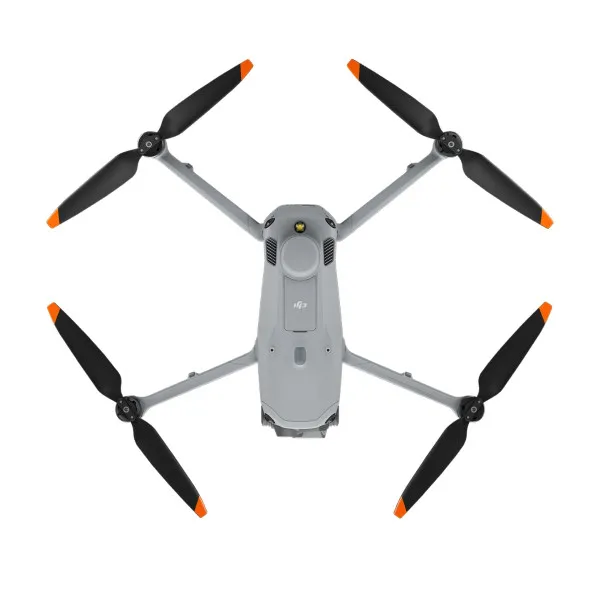
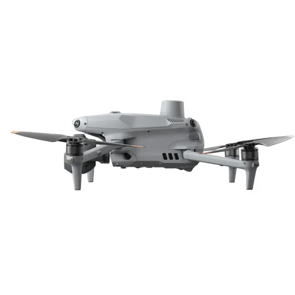
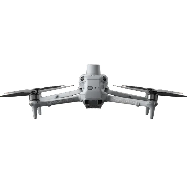
The DJI Matrice 4E is a compact and powerful drone designed for precise geospatial applications such as mapping, construction, and mining. Equipped with a laser range finder and advanced cameras, it enables accurate measurements, line drawing, and area calculations in real time. It supports the creation of high-resolution images and efficiently covers large areas. Integration with DJI Pilot and FlightHub 2 allows for fast data sharing and improved team coordination in the field. It is ideal for professionals seeking a reliable and intelligent solution for spatial data capture and analysis.
| Characteristics |
Value |
| Category |
Industrial drones
|
| Weight |
1.22 kg |
| Brands |
DJI |
| Max. Speed |
21 m/s |
| Max. Height |
6000 m |

