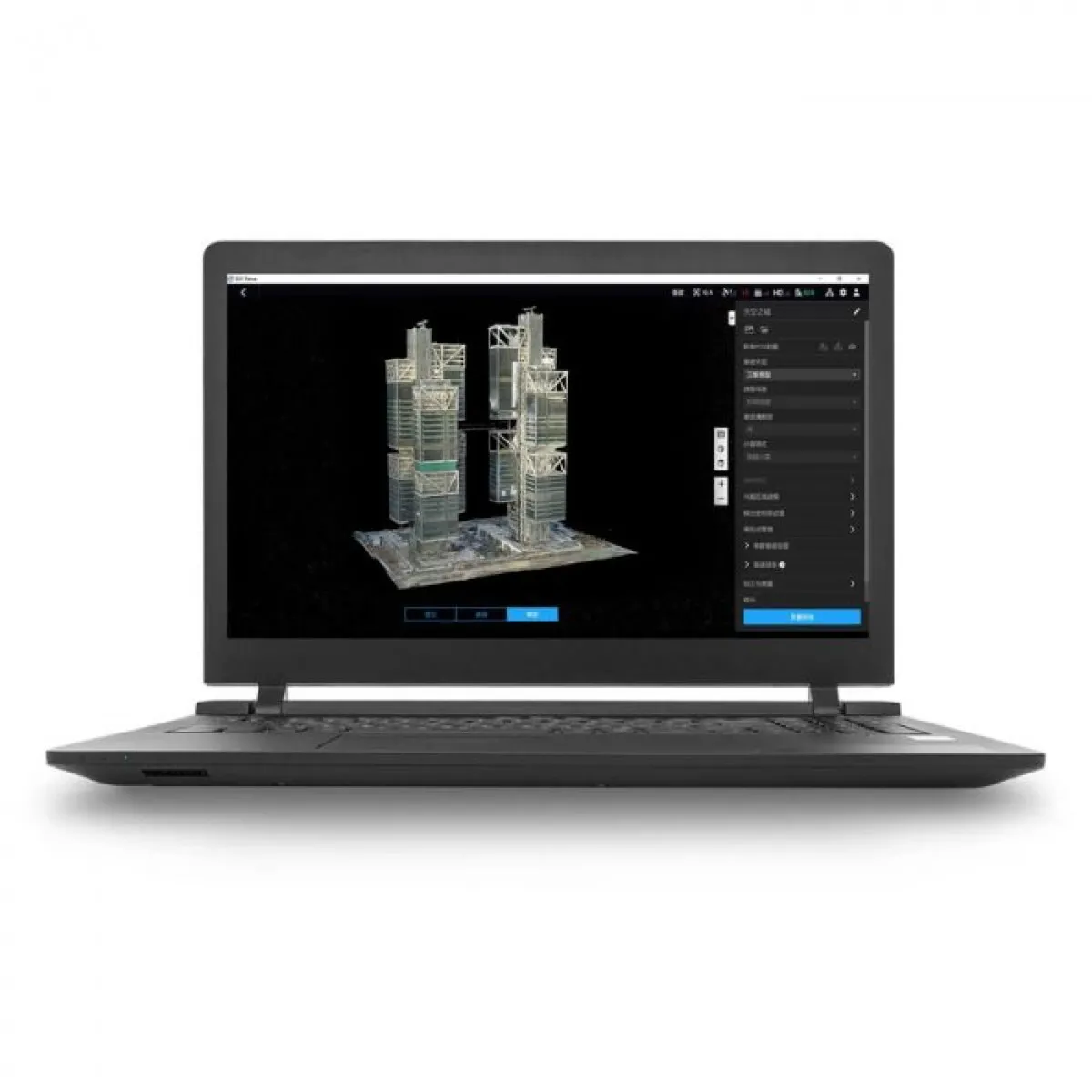
DJI Terra Pro is an advanced drone mapping and 3D modeling software designed for professionals in construction, infrastructure, agriculture, and public safety. This one-year license for a single device enables mission planning, data collection, and the creation of accurate 2D orthomosaics and 3D models. The software automatically processes photos from DJI drones into highly detailed spatial representations. Ideal for those seeking reliable digital management of real-world environments.


 DJI STORE ONLINE