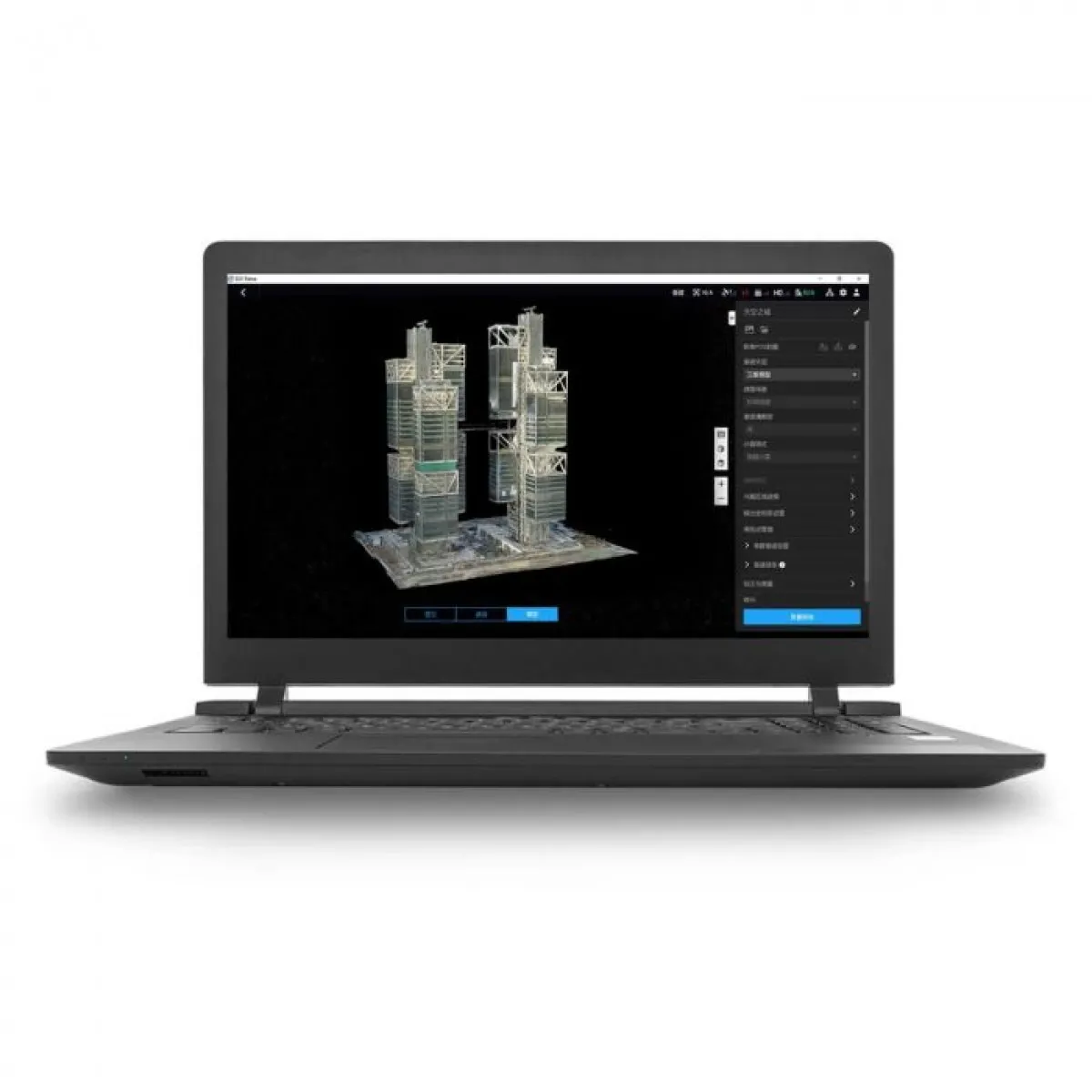
DJI Terra Pro is a 3D model reconstruction software based on photogrammetry, licensed for permanent use on a single device. It supports accurate processing of 2D and 3D visible light data, as well as DJI LiDAR data. Perfectly integrated with DJI Enterprise drones and payloads, it offers a complete solution for industries such as land surveying, power transmission, emergency response, construction, transportation, and agriculture. Ideal for professionals seeking a powerful and permanent tool for spatial analysis.


 DJI STORE ONLINE